Anheuser-Busch Natural Resources Building
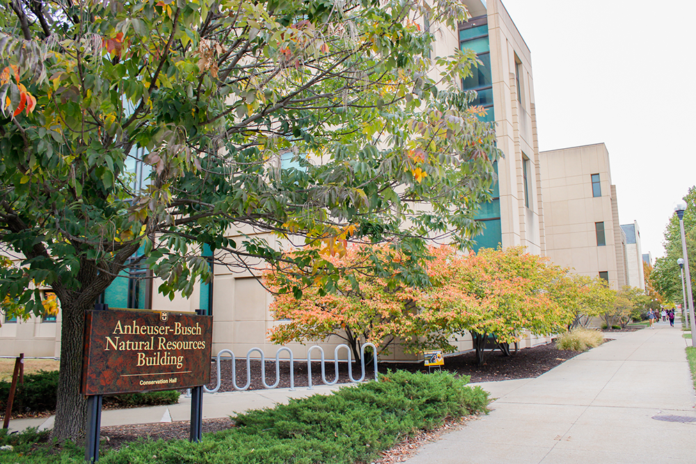
The School of Natural Resources is located in the Anheuser-Busch Natural Resources Building, which was dedicated in September 1998. The building is a 99,000 square foot facility on the MU campus, devoted exclusively to addressing natural resource issues in Missouri, the nation and the world.
Containing laboratories equipped with the latest technology for research in natural resource fields and computer-equipped teaching laboratories, the building is a state-of-the-art education facility.
Aquatic Ecology Lab
The Aquatic Ecology Laboratory studies the effects of anthropogenic activities on water quality and ecosystem integrity using observational, experimental, and modeling approaches. Current projects examine urban stream ecology, terrestrial-aquatic interfaces, bioengineering techniques to restore water quality, effects of forest practices on water, and the impacts of legacy mining on stream processes. The Aquatic Ecology Laboratory is home to the Lakes of Missouri Volunteer Program, a community science water quality effort.
Baskett Forest
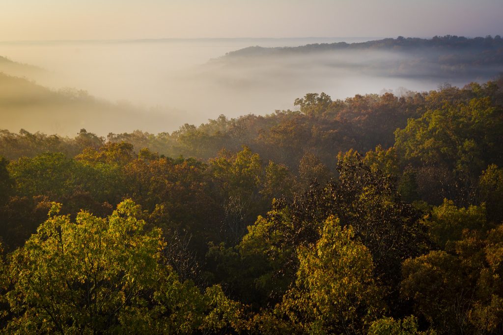
Baskett Forest, formerly known as the Ashland Wildlife Research Area, is a 2,252-acre facility located five miles east of Ashland Mo., on Highway Y.
In use since 1938, Baskett has become an integral part of the School of Natural Resources mission of teaching, research and extension. Baskett is used as an outdoor laboratory for several classes including dendrology, ornithology, and resource measurements.
The University of Missouri, Environmental Sciences Division of Oak Ridge National Laboratory and Atmospheric Turbulence and Diffusion Division of NOAA are collaborating on a research project that measures the carbon and water balance of Missouri’s oak-hickory forests on a large scale. This Department of Energy-funded study, an addition to an existing network of “Ameriflux” sites, employs a 106-foot tower above the canopy of oak-hickory forest.
Center for Agroforestry
The Center for Agroforestry at the University of Missouri, established in 1998, is one of the world’s leading centers contributing to the science underlying agroforestry practices. Agroforestry practices involve intensive land-use management combining trees and/or shrubs with crops and/or livestock.
Agroforestry practices help landowners create multi-functional working landscapes to diversify products, markets and farm income; improve soil, water and air quality; sequester carbon; mitigate and adapt to climate change; enhance and conserve land and water habitats for fish and wildlife; and increase biodiversity while sustaining land resources for generations to come.
The five integrated practices of agroforestry – forest farming, alley cropping, silvopasture, upland and riparian forest buffers and windbreaks – are tailored to fit the unique needs of individual landowners and their farms.
Center for Tree-Ring Science
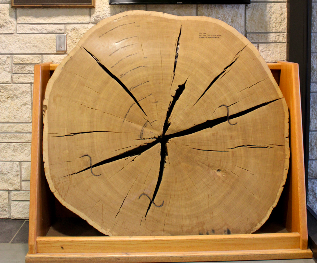
The Center for Tree-Ring Science (treerings.missouri.edu), located in the Anheuser-Busch Building, is equipped to age wood and perform high-precision measurements of tree cores, cross sections and other woody material.
The tree ring chronologies developed in the CTRS have important applications to ecology, climatology, archaeology and history.
Duley-Miller Erosion Plots
In 1917, Dr. F. L. Duley and Dr. M. F. Miller established seven test plots for the purpose of measuring erosion. The work led to the formation of the United States Soil Conservation Service and development of the Universal Soil Loss Equation.
Because of the historical significance of the work that had been done on the Duley-Miller Erosion Plots, these plots are now designated as a Registered National Historic Landmark. In 1992, a celebration was held to celebrate 75 years of research.
Horticulture and Agroforestry Research Farm
From its origin in 1953 as a site for applied field research in vegetables and fruits, the then 540-acre Horticulture Research Center has evolved to become an interdisciplinary plant science facility where researchers and educators can collaborate on projects that affect the agricultural, forestry and horticultural practices of the people of Missouri and the nation.
High priority is given to demonstrating ways in which plants improve the quality of the environments in which we live and to using plants suited to thrive in this region. In 1994, a large program in agroforestry was introduced to the now 660-acre Horticulture and Agroforestry Research Farm. The center is the U.S. National Arboretum Midwest Plant Research and Education Site and also serves as a location for North Central Region Ornamental Evaluation Trials.
An additional feature is that it is the site of one of Missouri’s oldest standing brick homes, the Thomas Hickman House, built in 1819.
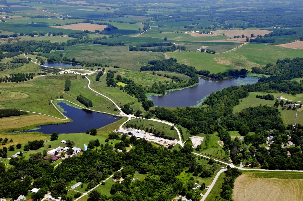
Land of the Osages Research Farm
Located on a western edge of Lake of the Ozarks, the Land of the Osages is a landscape rich in history and ecological variety. The naming recognizes the ancestral history of the Osage Nation associated with lands in Missouri.
Limnology Lab
Projects of the Limnology Lab at the University of Missouri include the statewide lake assessment and Reservoir Observed Student Scientists (ROSS).
Missouri Climate Center
The Missouri Climate Center, located in 113 Waters Hall, provides valuable climate data and information to public officials, educational institutions, corporations, and private citizens in the state.
The Center uses data sources from its own archives and from national and international observation networks. Databases are from original manuscript records, published paper records and computerized data records.
Missouri Resource Assessment Partnership
The Missouri Resource Assessment Partnership (MoRAP) develops, analyzes, and delivers the highest quality, lowest cost geospatial data for natural and cultural resource management.
Missouri Water Center
The Missouri Water Center is a central hub for research on the state’s water resources. This academic center combines existing resources and improves coordination across campus — tackling emerging water quality issues and factors that contributed to record flooding in 2019 and years of persistent drought — as well as facilitate new collaborations among faculty, government and industry partners.
Prairie Fork Conservation Area
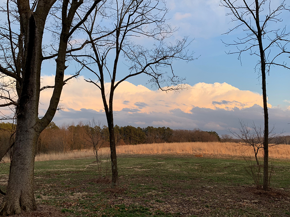
The Prairie Fork Conservation Area is a 711-acre farm donated by Ted and Pat Jones to the Missouri Department of Conservation to become a conservation area used as a natural laboratory for teaching the public, especially children, about natural resources.
The donor requested that the area be used especially to develop innovative programs of research and teaching in the areas of natural history and conservation. A generous endowment provides operating funds.
Located in Calloway County, 35 miles east of the University of Missouri-Columbia campus, the Prairie Fork Conservation Area is readily accessible for faculty and student projects. Faculty and students in the School of Natural Resources have full access to the Prairie Fork Conservation Area for teaching in an outdoor laboratory setting, as well as for various types of environmental research projects.
Quantitative Silviculture Laboratory
The Quantitative Silviculture Laboratory, located in room 15 of the Anheuser-Busch Building, develops projects to improve silviculture and forest management. This is done through the development of quantitative tools, publications, short courses and college courses.
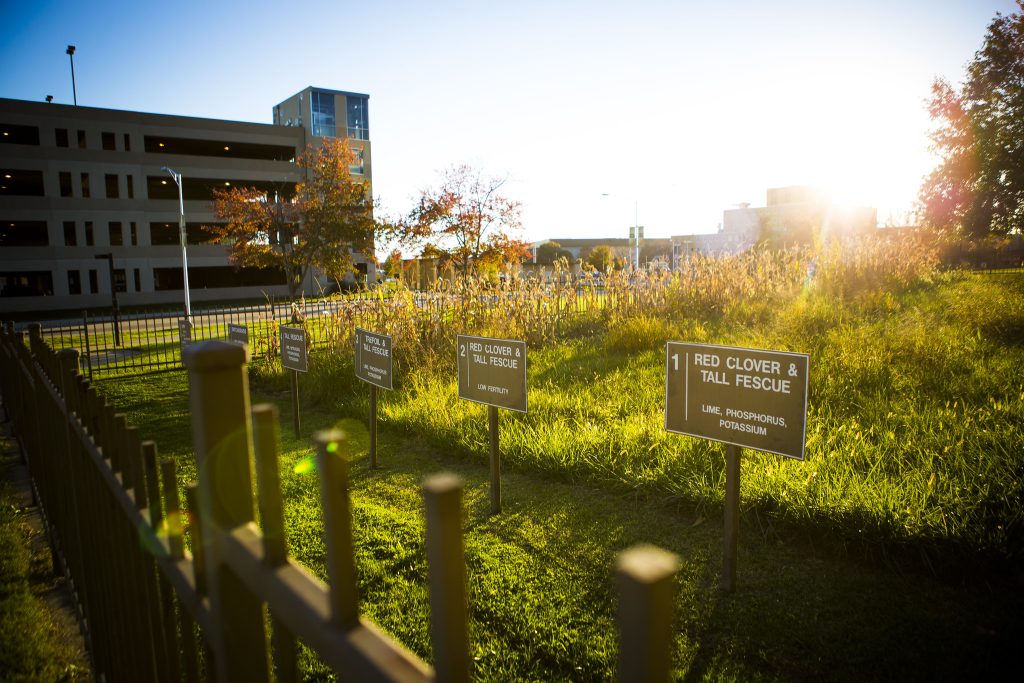
Sanborn Field
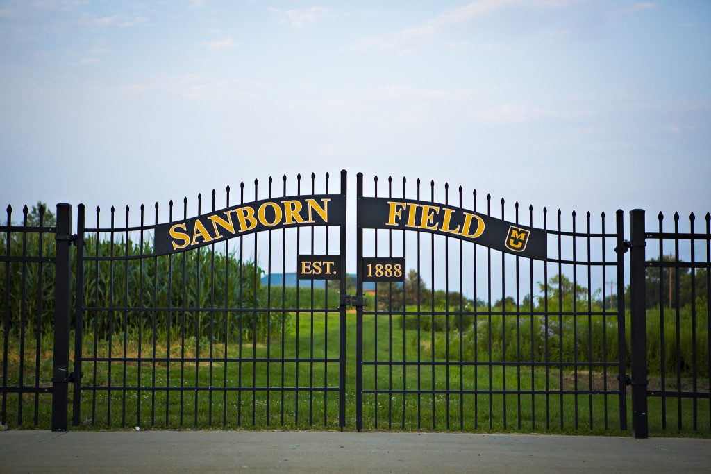
Sanborn Field was founded in late 1888 by Dean J. W. Sanborn to demonstrate the value of crop rotations and manure in grain crop production. The field, located on the University of Missouri campus on the corner of College and Rollins, is the oldest research field west of the Mississippi river.
Schnabel Arboretum Tract
The Schnabel Arboretum Tract is an 80-acre tract of old-growth forest on the bluffs overlooking the Missouri River. It is located eight miles southwest of the MU campus near the river community of McBaine, adjacent to the Missouri Department of Conservation Eagle Bluff Wetlands Area and the cross-state Katy Trail State Park.
The Schnabel Tract represents a unique, relatively undisturbed example of a river-hills forest ecosystem complex more commonly found in geographic settings further north. It has serve for many years as a site for undergraduate instruction, graduate research and demonstration.
Soil Health Assessment Center
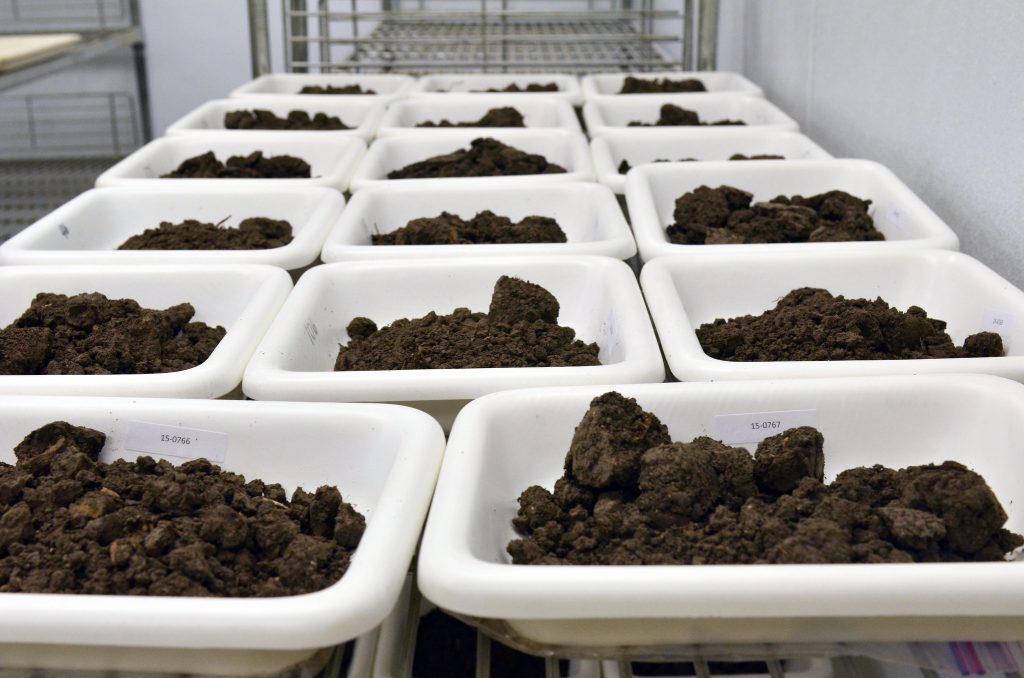
Services at the Soil Health Assessment Center include physical, chemical and biological properties of soil for clientele including farmers, landowners, researchers, consulting firms, state agencies and landscape architects.
Spatial Data Analysis Laboratory
The Spatial Data Analysis Laboratory, located in room 109 of the Anheuser-Busch Building, is a state-of-the-art GIS software teaching facility. Equipped with 25 student computers loaded with ESRI’s latest software, the Spatial Data Analysis Lab has computer overhead projection, printing and data server storage capabilities.
Weather Analysis and Visualization (WAV) Lab
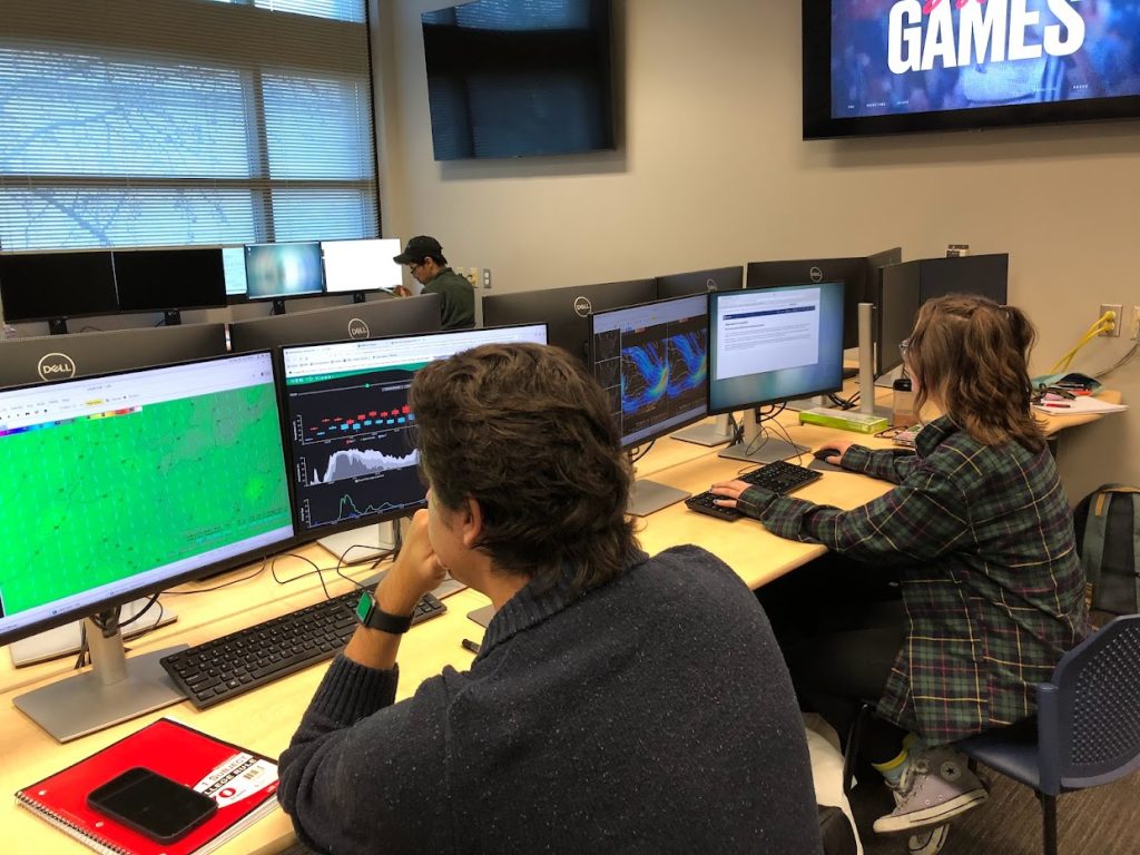
The WAV lab in the Anheuser-Busch Natural Resources Building (ABNR) gives students the opportunity to perfect their forecasting, broadcasting and modeling skills in a setting that mimics the real world. With a state-of-the-art TV weather graphics computer, green screen and National Weather Service (NWS) software, students can practice and produce their own weather forecasts that are broadcast throughout campus. The WAV lab is a hub for aspiring meteorologists and researchers.
Wurdack Extension and Education Center
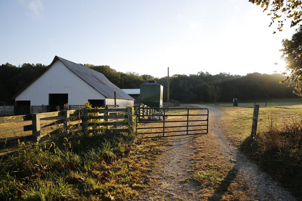
Nestled along the Meramec River near Cook Station in the northeast Ozarks, the Wurdack Extension and Education Center conducts demonstrations and research in integrated livestock, forages, forestry, agroforestry and wildlife management practices that are economically viable, environmentally sound and sociologically acceptable for the Ozark Region of Missouri. Current research includes programs to improve forage, beef, agroforestry and timber.